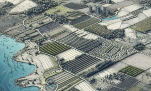
What are Land Use Models?
Land use models are analytical tools used to simulate and understand the spatial distribution and development of different types of land use within a particular area. They help planners, policymakers, and researchers predict how land will be used in the future based on current trends, policies, and various influencing factors. These models take into account various land use types such as residential, commercial, industrial, agricultural, recreational, and natural reserves, among others. By analyzing factors like population growth, economic development, environmental constraints, and infrastructure, land use models can provide valuable insights into the sustainable and efficient use of land resources. They play a crucial role in urban and regional planning, helping to create balanced and well-structured communities that meet the needs of both people and the environment.

